Previous Photo

Next Photo
| home | photos | Thailand Photos Map | Phang Nga Bay Map | Phang Nga Bay Letter | world view | search |
|
Thumbnails
Previous Photo |
|
Next Photo |
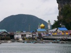
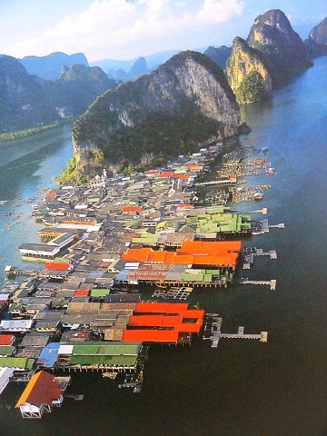
This aerial photograph copied from a tourist brochure shows that Ko Panyi is a village built out over the water on stilts. Their fresh water is piped from the mainland, so we anchored at 8°20.1'N; 98°30.4'E just south of the underwater pipeline. |